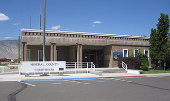
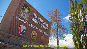
 Mineral County was established in 1911. The 3,813 square miles that makeup Mineral County are home to lakes, mountains, and 4,471 individuals (DETR, 2017). Much of the county's population reside in the towns of Hawthorne and Schurz. A large portion of the Walker River Indian Reservation, which belongs to the Walker River Paiute Tribe, resides in Mineral County just north of Walker Lake. US Route 95, which connects Las Vegas to Reno, runs north and south through the county and will take you through Mina, Luning, Hawthorne, and Schurz. State Route 359 will take you west into California.
With 273 days of sunshine on average, Mineral County is quite dry and gets approximately five inches of rain per year (Climate, n.d.). Well above sea level, much of Mineral sits at around 5,500 feet in elevation. Mount Grant is the highest point in the county at 11,000 feet and is part of the Wassuk Range, which spans 424 square miles in the northwest part of the county.
For those looking to explore the outdoors, Mineral provides hunting, fishing, four-wheeling, boating, hiking, and camping opportun ities throughout its land. If you are looking to ATV, OHV, or take your 4x4 for a spin, Mineral County offers many hiking opportunities. For example, there’s Pilot Peak in Mina, or Allum Creek Canyon in Hawthorne.
For a more in-depth look at what makes Mineral County a community, read the full Mineral County Cultural Overview.


